
| 3-day forecast 10-day forecast | Smoke forecast | Avy forecast | |||
| Photo | Trail Name | Hike Date | Trail Status | Comment | Submitted By |
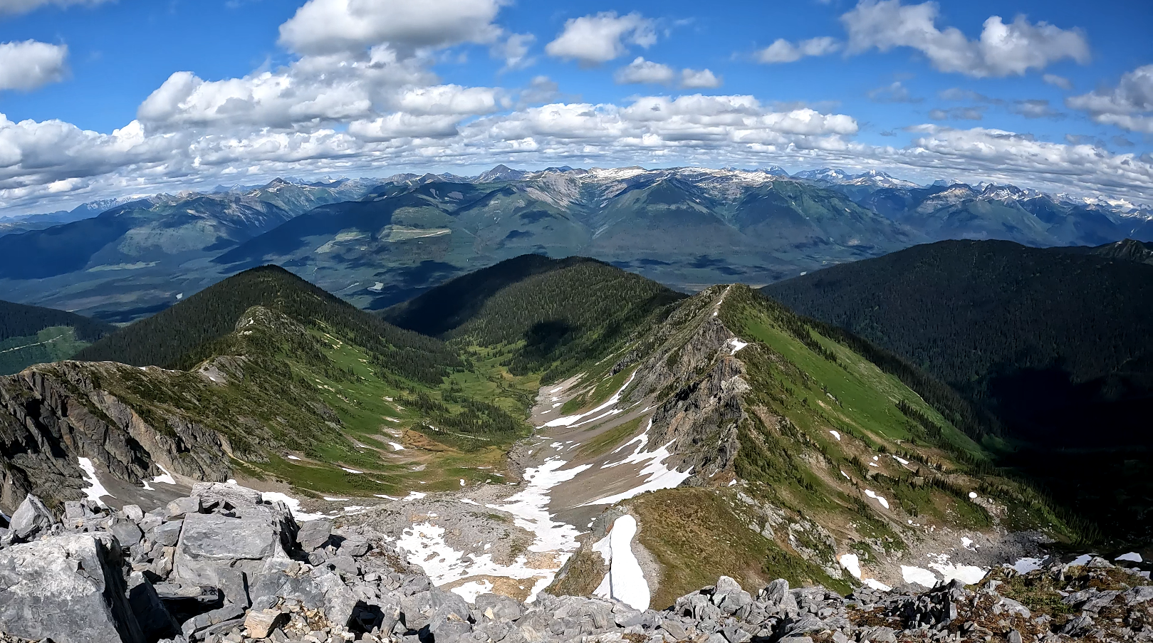
 | Torpy Mountain Summit in Northern BC | 2025-Aug-04 | Unknown | THE PASS LAKE FSR HAS BEEN GRADED AND IS IN GOOD SHAPE WHILE THE UPPER TORPY IS A LITTLE ROUGH. THE TRAIL ITSELF HAS 4 OR 5 TREES DOWN SO REALLY NOTHING. ITS A GOOD TIME TO VISIT TORPY MOUNTAIN | TAZ |
| Torpy Mountain Summit in Northern BC | 2025-Jun-21 | Variable | A group went up Torpy Mountain and had variable conditions, mostly clear of snow but patches here and there | ||
This trail is not to be confused with the Torpy Trail in Evanoff Provincial Park. The trailhead for this hike is about 10 km east on the Upper Torpy FSR past the Torpy Trail trailhead. Starting on the Upper Torpy road (about 15 km from the turnoff on Pass Lake FSR) follow the quad trail about 2 km into the subalpine, then look for a trail with markers on the left near a large rock (the main quad trail continues to the right eastward).
The trail is about 12 km return and is considered a moderate hike. Once you start on the trail towards Torpy Mountain, some sections are not marked, and the trail is easy to lose, so pay attention to the information shared in the video as it offers tips for picking the best route, the keyword here is ‘route’ as you will need to route find your way in the alpine.
GPX track: here
Distance: 12.40 km
Duration: 3 hours 22 minutes
Elevation Gain: 1,019 m
Elevation Loss: 1,015 m
Elevation Max: 2,042 m
Elevation Min: 1,100 m
Photos:


Videos:
July 2024: