
| 3-day forecast 10-day forecast | Smoke forecast | Avy forecast | |||
| Photo | Trail Name | Hike Date | Trail Status | Comment | Submitted By |
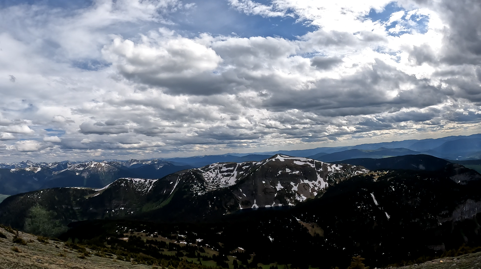
 | Caledonia Mt in Northern BC | 2026-Jul-04 | Wet | Road to the trailhead was in good condition and was easy to drive. Trail was quite wet but most of the snow is gone and in only smaller patches. Did not hike over to the actual Caledonia mountain peak and just did the closer summit, the ridge for the closer summit had very little snow that can be easily avoided. The path to go down over the saddle to the lake has lots of snow on it though and you would need to be quite careful going down. | Sawyer Tretiak |
Description:
Caledonia Mountain is located approximately 79 km down the Bowron and Tumuch Forest Service roads (past the trailhead for The Vineyards and take the first road to the right all the way to the end).
This trail begins at a washout where you cross 2 logs and follow the trail and ribbons up into a steep meadow with old burned trees. This part of the hike is the hardest as it offers few flat sections and is mostly exposed to the hot sun and bugs. This is a strenuous hike but it gets easier once you reach the first lake. There are plenty of water sources via creeks and lakes on this hike and some great camping spots beside the lakes. The best part of this hike is the first 4 lakes, the best being the lake before you ascend the last section to Caledonia Mt.
Directions to the trailhead: here
GaiGPS track of the drive down the Bowron and Tumuch Forest Service Roads: here
Stats:
Distance: 13.6 km
Ascent: 1306 meters
Total Time: 6 hours 38 minutes
Min elevation: 1104 meters
Max Elevation: 2078 meters
GaiGPS track of the hike: here
GPX track: here
Distance: 14.47 km
Duration: 3 hours 45 minutes
Elevation Gain: 1,343 m
Elevation Loss: 1,347 m
Elevation Max: 2,079 m
Elevation Min: 1,104 m
History:
Click here to read about the history of this trail
Photos:


Videos:
July 2024: