
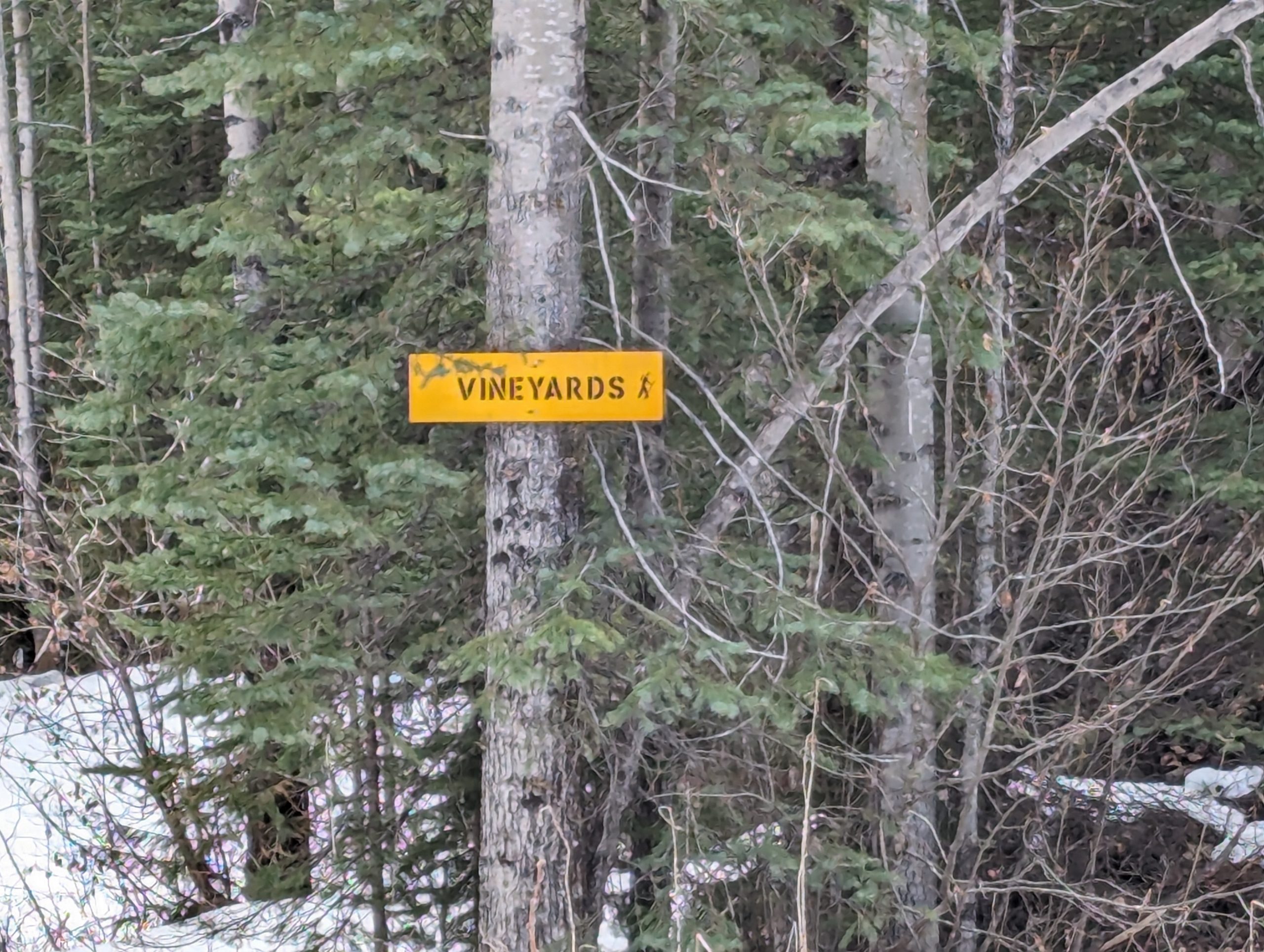

This trail was created by Dave King in the mid 1980’s, slightly after the Caledonia Mt trail was made. Northwood Pulp logged up the mountain, and a mineral exploration company ran a CAT trail west of the cut block. Dave checked out the cat trail, but he didn’t like it. There was an old cabin made out of plywood, but porcupines ate it within a few years.
The Caledonia Ramblers had several multi-day club trips into the gulley below the first meadows, where the last water supply is found. Dave has camped up the ridgeline and hiked all the peaks, including Apse (only did it once). At the lake at the far end, Dave went down to the lake and followed the south hillside slowly back up (looping back to the trailhead), and it was horrible! Don’t do it!
It was likely in the 1980s that Dave King hiked along the ridge to Apse Peak. Very few have done that trip. The cairn on top goes back to the 1960s, Dave believes, when they were surveying peaks…..they ascended from the highway or maybe even the Fraser River if before the highway.
Dave doesn’t recall who suggested the name “Vineyards,” but it might have been himself. The meadows are so nice and kind of reminds one of vineyards. Just after you get up into the meadows, if you go down to the north 2-300 meters, there is a small creek and a good campsite where the Ramblers camped several times in past years.
Photos:


